
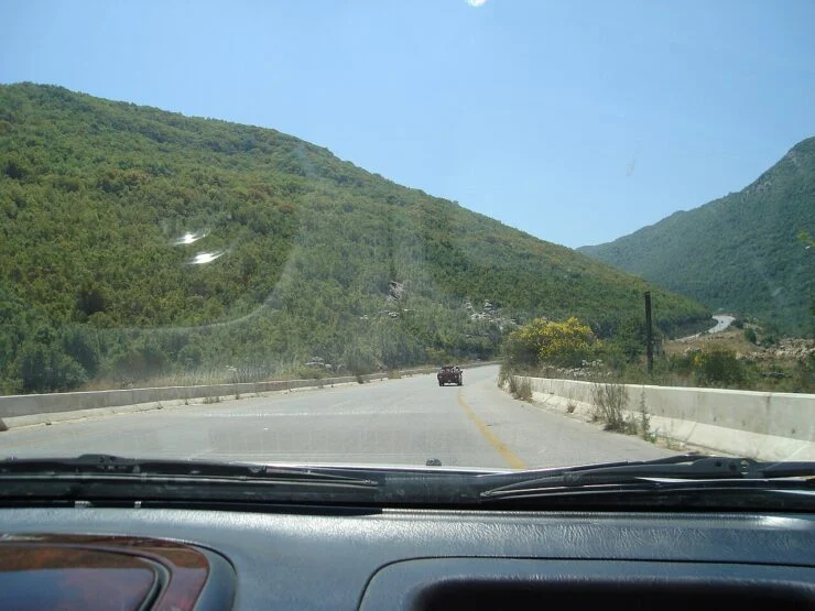
At the 2004 General Census of Population and Housing, the Central Bureau of Statistics (Syria) recorded 6,115 residents in Beit Yashut: 3,118 men and 2,997 women. The town lies in Jableh District, Latakia Governorate; the surrounding Beit Yashut nahiyah counted 10,086 people.
What was Beit Yashut’s population in 2004?
According to the Central Bureau of Statistics (Syria), the 2004 General Census of Population and Housing recorded 6,115 residents in Beit Yashut: 3,118 men and 2,997 women. The town, also transliterated Bayt Yāshūţ, appears in the census table for the nahiyah of Beit Yashut. The same table gives the nahiyah total as 10,086. For more on the institution, see how Syria’s Central Bureau of Statistics compiles census data.
Beit Yashut 2004 census figures: town and nahiyah
The 2004 census table records two figures for this area: the town and the wider nahiyah.
| Unit | Total | Men | Women | Source |
|---|---|---|---|---|
| Beit Yashut town | 6,115 | 3,118 | 2,997 | Central Bureau of Statistics (Syria), 2004 census, Beit Yashut nahiyah table |
| Beit Yashut nahiyah | 10,086 | — | — | Central Bureau of Statistics (Syria), 2004 census, Beit Yashut nahiyah table |
The town figure includes a sex breakdown. The nahiyah total appears without a published sex breakdown in the cited table. Both totals are useful when comparing the town with the surrounding subdistrict.
Where is Beit Yashut and how is it administered?
Beit Yashut lies in northwestern Syria, within Latakia Governorate and Jableh District. Syrian administration is organised from largest to smallest as governorate, district, nahiyah and town or village. Beit Yashut gives its name to the nahiyah that includes the town and nearby settlements. In the 2004 census tables, the Central Bureau of Statistics reported population for each of these levels. A place can therefore appear once as a town and again as part of a larger nahiyah total. For narrative background on these communities, see social history of Syria.
How to read and cite the 2004 census figures
The 2004 census is cited as a published reference rather than a live dataset. A full citation should name the Central Bureau of Statistics (Syria), the title General Census of Population and Housing 2004, and the table for the nahiyah of Beit Yashut. Readers working from older sources may find the same figure under the transliteration Bayt Yāshūţ. The 2004 enumeration covered areas under government control and did not include Syrians abroad. Later UN estimates are used for more recent population levels, since the 2004 census remains the most recent completed nationwide enumeration available.
Where the 2004 figure stands today
The 2004 census remains the reference point for Beit Yashut because no newer completed nationwide Syrian census has been published. UN agencies publish population estimates and humanitarian assessments for later years. As of November 2026, OCHA described Syria as a major humanitarian emergency. For wider economic pressures since the census, see Syria’s economic context after the census.
Key terms: nahiyah, district, governorate
- Governorate: first-level administrative division; Latakia Governorate is the unit used here.
- District: second-level division; Jableh District contains Beit Yashut.
- Nahiyah: third-level division used in the 2004 census tables; Beit Yashut nahiyah had 10,086 residents.
- Town: locality unit; Beit Yashut town had 6,115 residents at the 2004 census.
Frequently asked questions
What was the population of Beit Yashut in 2004?
6,115 residents: 3,118 men and 2,997 women, per the 2004 Syrian census.
Which governorate is Beit Yashut in?
Latakia Governorate, Jableh District, in northwestern Syria.
How many people lived in the Beit Yashut nahiyah in 2004?
10,086, according to the same 2004 census table.
Where does the 2004 Syrian census figure come from?
The Central Bureau of Statistics (Syria), General Census of Population and Housing 2004.
Is there a newer full Syrian census after 2004?
The 2004 census remains the commonly cited reference; UN agencies publish estimates for later years.
Sources
- Central Bureau of Statistics (Syria), General Census of Population and Housing 2004, table for the nahiyah of Beit Yashut.
- UN Office for the Coordination of Humanitarian Affairs (OCHA), homepage (accessed 11 November 2026).

Published by